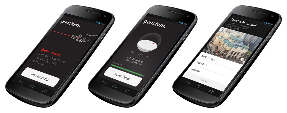
Punctum is a mobile app that uses the gesture of pointing out objects in the physical environment to interact with their digital information. By overlaying three-dimensional virtual models with their related elements in the real world, it's possible to browse buildings and other volumetric elements in a seamless experience.
It was developed by Sergio Boiteux in 2014 as result of his master's research on Interaction Design at ESDI/UERJ.
The use of geotags in digital assets and the popularization of mobile computing established a new model of information-based interaction.
Many Location-Based Services (LBS) and Augmented Reality apps treat geo-data as single coordinates to present georeferenced files, to evaluate distances or get relative direction from user. They rely on screen mediation and end up constraining the relation between the user and the environment. It interferes with the interactive experience by adding icons and symbols built upon users field of view, already framed and flattend by the screen.
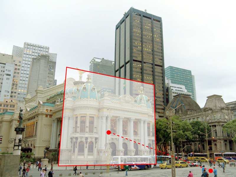
As an outcome of the research, a mobile application was developed that spares the use of displays when selecting points of interest in the physical environment. A tridimensional approach to geo-data (width, depth and height) can recreate the surrounding and reproduce its occlusions and perspective. That way, without the interference of screens or immersive devices, the environment itself is presented as an interface and make technology more subtle in its daily use.
This research aims to explore the features of user interaction with georeferenced information by using the physical environment and its elements as interface.
The system is based on smartphones' location and orientation sensors data to establish the interaction with the georeferenced and modeled surrounding elements. Thus, the user points the device and directly select the object of interest, in order to receive the data assigned to it.
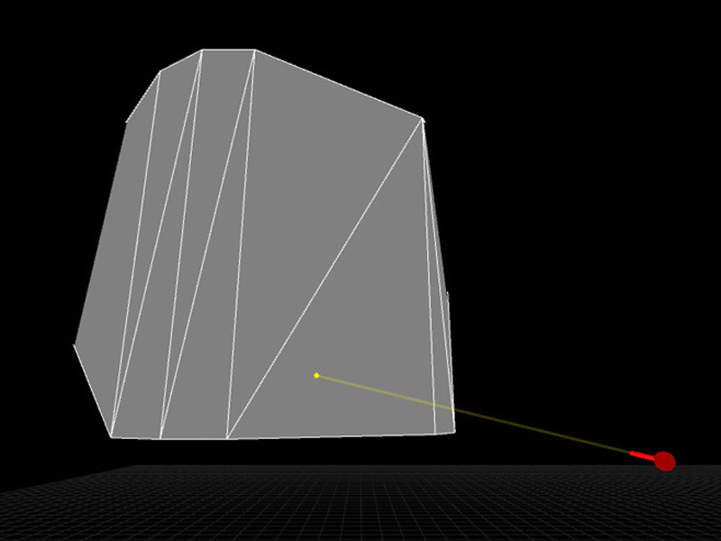
Punctum works with OpenStreetMap (OSM) database. OpenStreetMap is a colaborative non-profit foundation whose aim is to support and enable the development of freely-reusable geospatial data.
Check out the volumetric data available in OpenStreetMap through OSM Builder script.